In my pursuit of locating pertinent GIS data for my historical inquiry I contacted Fred Wurster a hydrologist at the Great Dismal Swamp National Wildlife Refuge. Over the past year he and I have corresponded about conservation efforts, environmental policy, and geographic information specific to the refuge. Last week (week of July 4) I visited … Continue reading 1890 Shaler Map- Crude Georeference
Tag: mapping
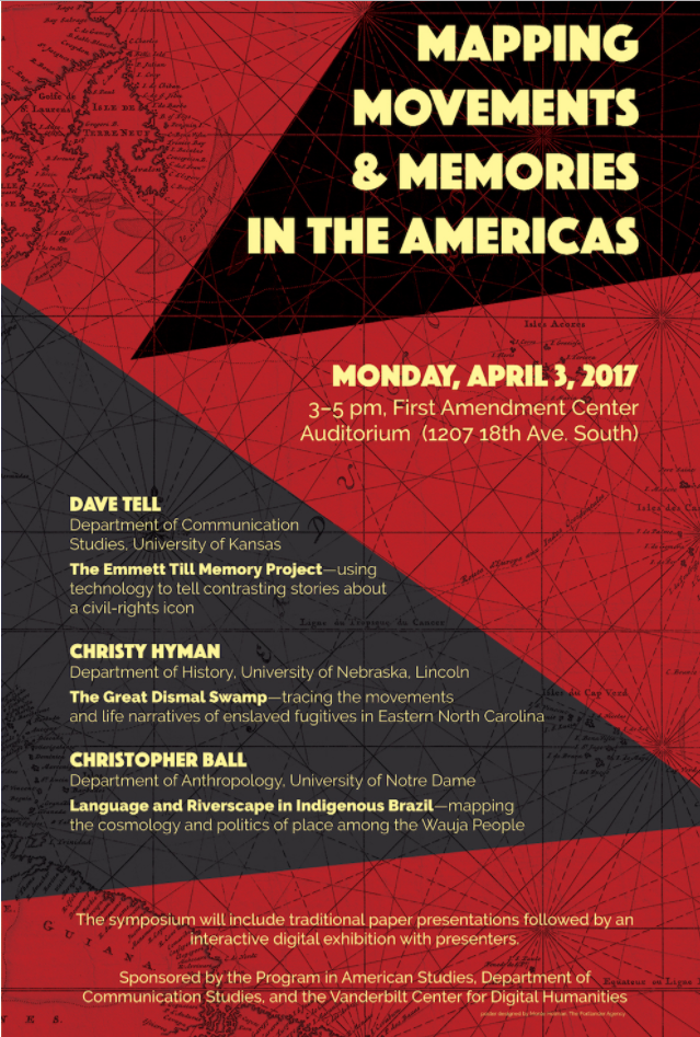
Invited Lecture: Mapping Movements and Memory
My friend and colleague Dave Tell at the University of Kansas was kind enough to recommend my work to Paul Stob at Vanderbilt. Because of this referral Stob invited me to share my work on counter-mapping enslaved flight within the Great Dismal Swamp. I learned a great deal from everyone there and met some excellent … Continue reading Invited Lecture: Mapping Movements and Memory

